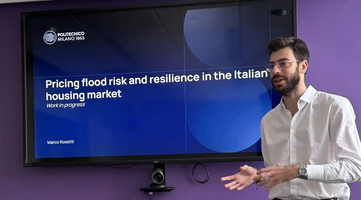
MILAN (ITALPRESS) – In a nation with high hydrogeological risk like Italy, we still know little about how this aspect affects the evaluation of a property. A gap that tries to bridge the study carried out by Marco Rossitti, researcher of the Department of Architecture, Construction and Environment Engineering Built – DABC of the Politecnico di Milano, with a working paper entitled: “Evaluation risk assessment and resilience characteristics in the Italian real estate market”, appeared on the SSRN platform within the Working Paper Series of the Center for Real Estate of MIT – Massachusetts Institute of Technology in Boston, USA.
The research, in fact, was carried out in part at the Center for Real Estate of MIT, where Rossitti spent a period of visiting thanks to the Rocca Project – an international collaboration between Polytechnic and MIT – and where he worked closely with the teacher Siqi Zheng, authoritative name in the field of real estate worldwide. Thanks to the econometric model developed at MIT and a data supply agreement with the idealist real estate portal, signed with the support of the DABC professor Francesca Torrieri, the study started from a data of about three million real estate ads to analyze how the risk of flooding and resilience affect the prices of housing, concentrating in particular on the region Lombardia. After a first scramble, real estate ads including all useful data and taken into account for the analysis were at the end just over a million.
“We chose to dwell on the apartments, starting from the offer price and then estimate the market value of the property according to its intrinsic characteristics – Rossitti explained – like the surface, the number of floors, and its extrinsic characteristics, defined through the use of a GIS system: distances from public transport or the old town, and of course those related to the focus of research, such as the distance from a river or a lake, characteristics these that in reality the real estate market could appreciate, although they can increase the risk conditions”. Geolocation has been compared with the alluvial hazard reported in the official maps of ISPRA, the Higher Institute for Environmental Protection and Research, and the result is clear: a small but significant lowering of the price for properties in areas, precisely, “at risk”. The depreciation varies, and is greater for real estate units located on the lower floors while it decreases with the increase of the height of the plan (resilience “vertical”). In addition, properties in good conservative state are perceived as more resilient and, consequently, they record lower content.
The study could become a tool for approaching design differently: for example, thinking not to use the ground floor – which is the most affected – for residential purposes, but to leave it free. “One of the interesting results, in a planning perspective, is that public investments in works of mitigation of the hydraulic risk actually go to reduce the negative impact on prices – says Rossitti – In addition if the market values are lowering too much, only those with little economic availability will go to live in certain areas, thus generating also a theme of social injustice”.
-photo press office Polytechnic Milan –
(ITALPRESS).